
As a home worker I need excuses to get out of the house so, despite not being that interested in food other than as fuel, I’ve been volunteering at Stirchley Stores, doing shifts and running errands a few times a week. As well as the essential contact with other people it also gives me a commute, of a kind. It’s just a walk through Hazelwell Park and over the River Rea, five minutes at most, and it’s given me a real appreciation of these small, local parks which cover the Birmingham sprawl.
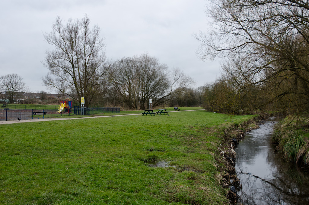
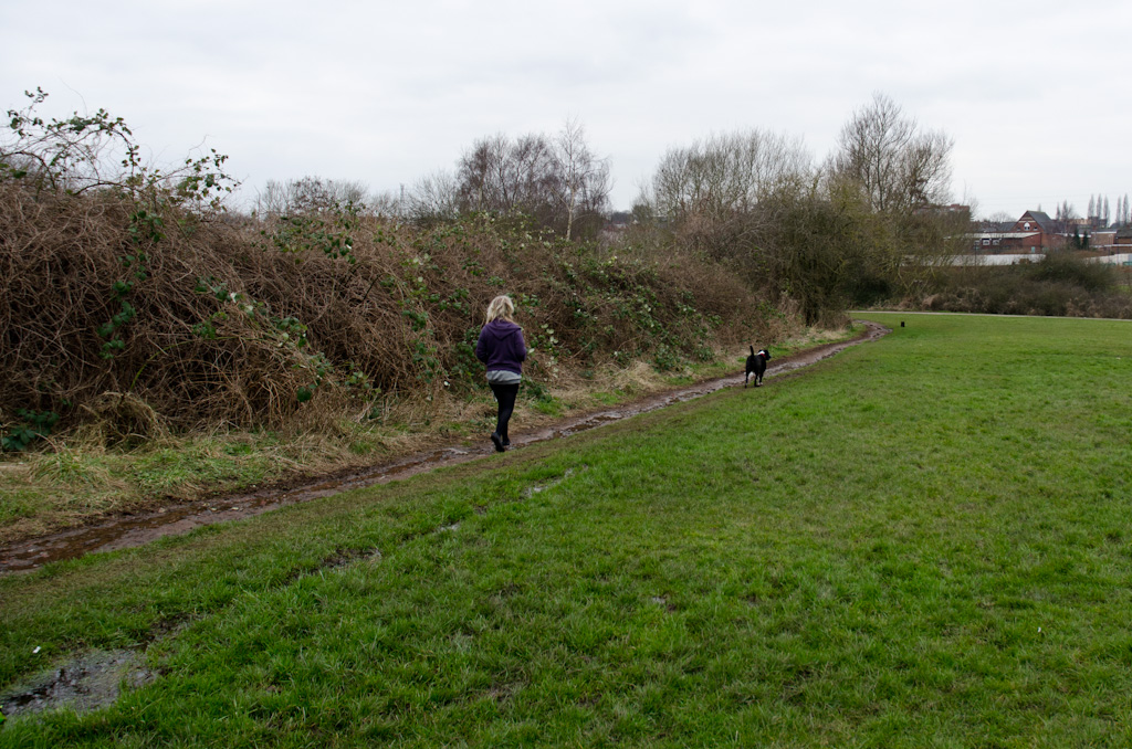
Functional and unpretentious, Hazelwell Park is a typical community resource. A large rectangle with space for ball sports (as I believe they’re known), enclosed on four sides by a terrace, a patch of woodland, some allotmments and the mighty Rea. Like other parks along the river its path forms part of the National Cycle Route 5, a pastoral bypass to the noisy Pershore Road used by pedestrians and cyclists alike. It also houses a vast murder of crows which, remarkable as they are, are not the subject of this letter.
I want to tell you about a new river which I believe has emerged in Hazelwell Park, one of many minor tributaries of the Rea but one which I’m pretty sure was not so obvious last year.
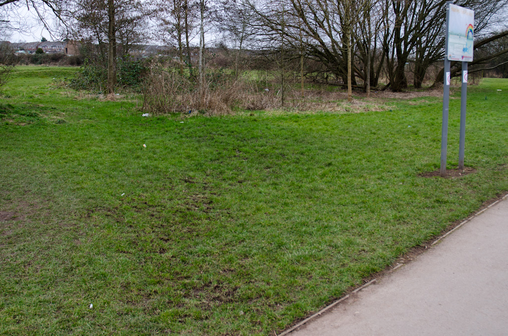
It first came to my attention during the snow last month. The path in the park remained packed with crunchy snow for a good week or two, but there was also a large patch of pure ice, as if being fed with water which would then freeze. And as the snow persisted I noticed an area of grass, between the playground and the copse of trees, had experienced a hyper-localised thaw pointing directly to the ice. I’m no hydrogeologist but that seemed like evidence of constant water flow that was distinct from the usual run-off after rain (for what rain we’d had was locked in snow on the ground).
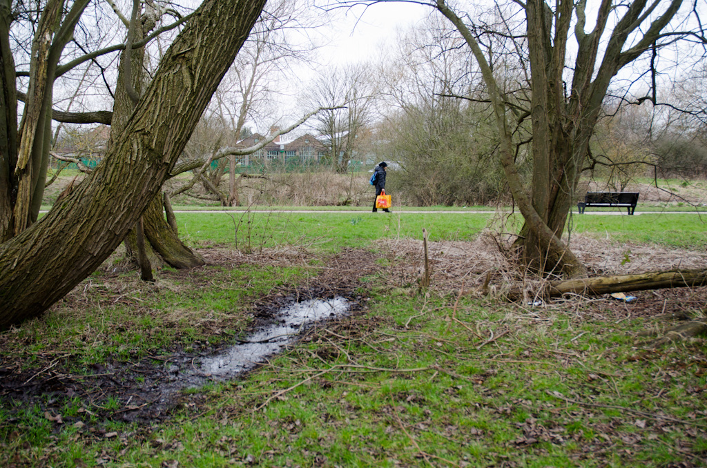
But the main area of interest was further along the path, by the humpback bridge over the river. Unlike the sprawl of ice by the swings this was more focussed, the ice weaker and the water fresher. This definitely wasn’t an overflow of the water table – this was a stream.
The funny thing about noticing something for the first time is you can’t be sure it wasn’t there before. I’m pretty sure this stream of water wasn’t there last year or the year before, at least not constantly. Sure, the park floods a lot, both up from the river and down from the hills of Kings Heath, but I would have noticed something like this, wouldn’t I? I can’t be sure, so I choose to believe its new. Because it’s more interesting that way.
The snow is well gone and the temperatures are starting to slowly creep up. We haven’t even had a decent storm for a week or so but the water is still there. Today, after my shift at the shop, I took my camera and tried to find the source of this new river.
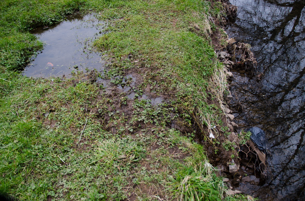
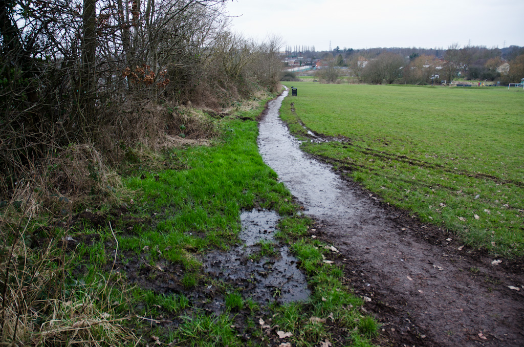
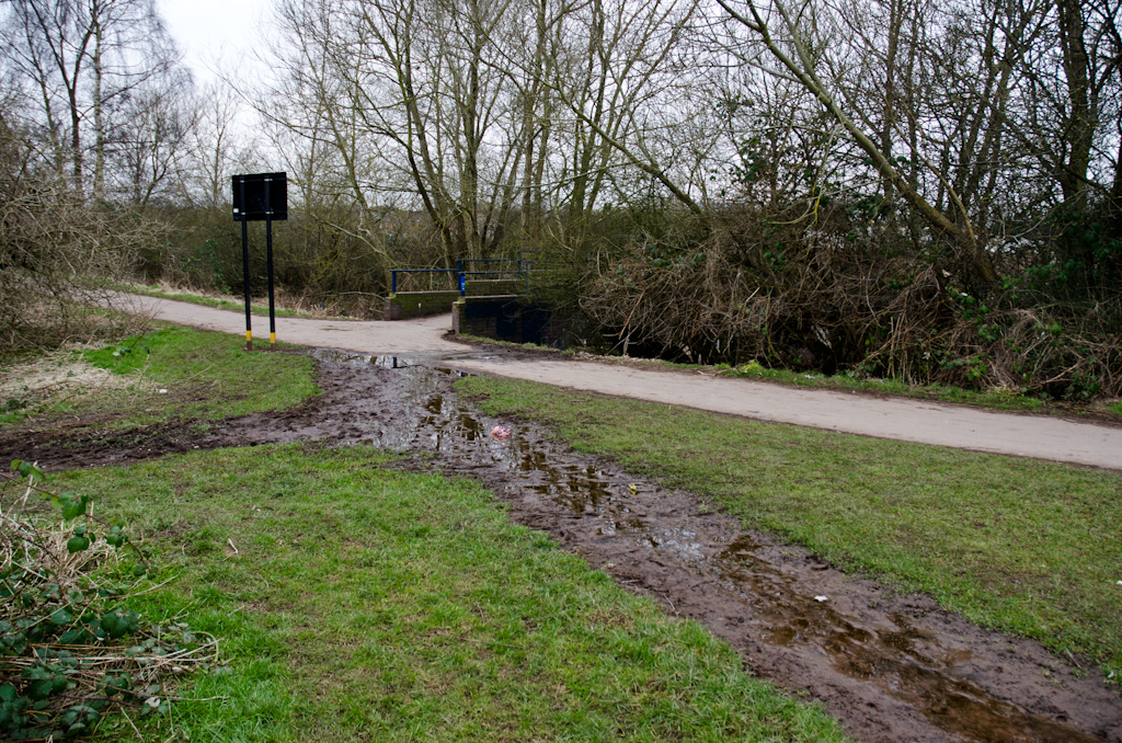
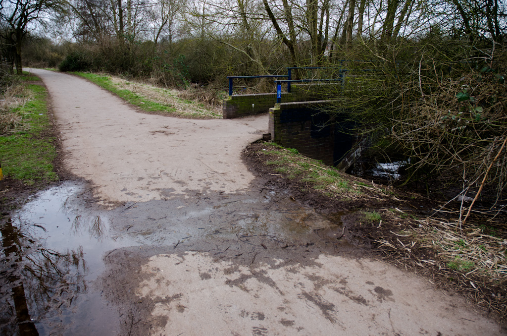
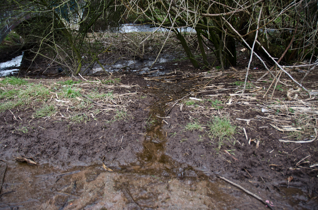
The “source” of this river is still unknown. It emerges from a pool by the fence with the allotments but there’s no indication of what’s feeding that pool. No spring nor inlet – just water seeping from somewhere. It could be there’s a leaky pipe in one of the sheds on the allotments. Or it could be some natural process I don’t understand concerning the origins of rivers and that. Whatever the origins of this stream it looks here to stay, Stirchley’s newest river.
With apologies to Alistair Cooke.
Sorry to burst your bubble somewhat but this story is nothing new.
I used to walk my dog here a few years ago and a local resident told me there is indeed and underground stream which is why the playing field is sodden most of the time.
Ah, but it is something new to me, and that’s what mattered. I was pretty sure someone would say what you said but was enjoying myself too much to stop.
Exactly Pete. Its newness to you is the important experience and by sharing this discovery you have made it a new river for me too. Thank you. I’ll retweet it to support its flow.
Shock Horror Hazelwell Park is on the River Rea flood plan !
Then just maybe that’s why its a park and not a Housing Estate
it’s, Barnard. Eye Tee Apostrophe Ess.
Hope you get over your shock and horror soon.
The River Rea follows the downthrown side of the Birmingham Fault (which is why the Bullring is on a slope) and spring lines are often associated with fault lines. With 2012 being the wettest year on record it is likely that the water table is higher than normal, so a spring can appear where was none before. It will be interesting to see if the stream disappears if and when we have a drought!
not been there for a few years but did hear about natural springs on the allotments for many years, also it may have been used when it was a brickworks…..?
It was a brickworks? When was it a brickworks? Exciting!